Nobbys Headland
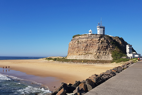
Owned and managed by Port Authority of New South Wales, the heritage-listed Nobbys Headland is one of Newcastle's most iconic sites.
Did you know that Nobbys-Whibayganba headland was originally an island? The distinct formation was special to the local Awabakal people and was the source of a significant Dreamtime story.
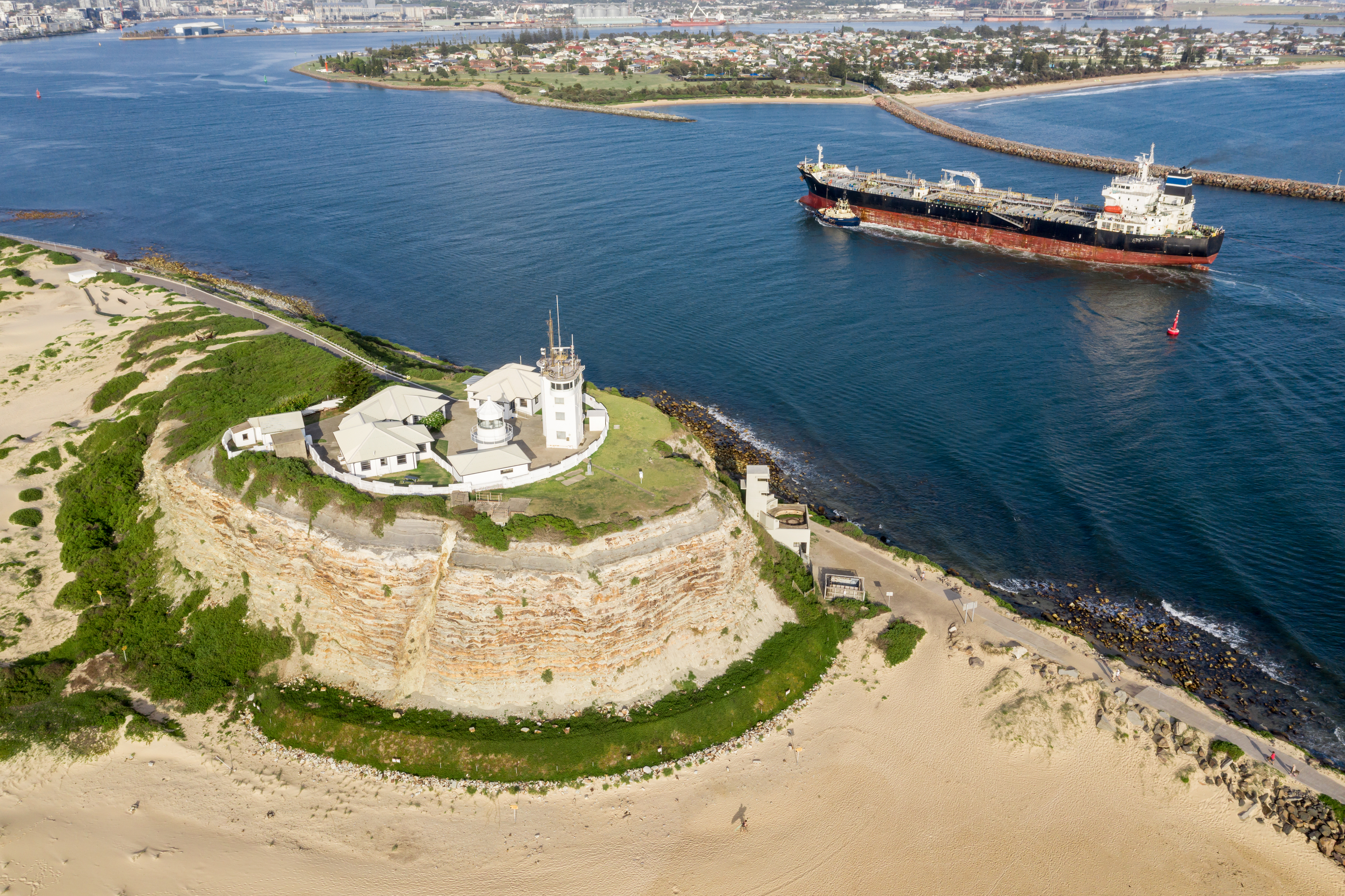
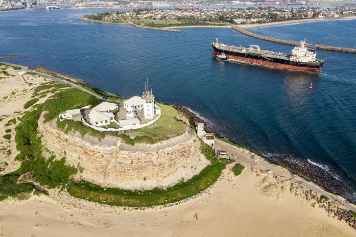
The construction of Macquarie Pier began in 1818 following a proposal by the Commandant of Newcastle, Captain James Wallis, to link the headland to the mainland. The construction of Macquarie Pier continued until January 1823 when works were suspended until recommencing in 1835 with a new convict workforce. In 1836, stone was quarried from a part of the headland to complete the eastern end of the pier and the height of the island was reduced to 27 metres above sea level. Macquarie Pier was finally completed in 1846, 28 years after commencement.
Did you know that a location on Mars is named after Nobbys Head? It has also been updated by NASA to reflect its Aboriginal name, Whibayganba.
During the 1850s, locals, workers, traders and even Masters from trading ships rallied against the proposal to greatly reduce the height of Nobbys-Whibayganba headland. The government had been recommended to cut down the formation to 65 feet above the high tide mark to accommodate a lighthouse structure. Following protests, however, plans to blast the headland were abandoned. Instead, upper levels of rock were removed from Nobbys-Whibayganba’s peak, reducing the height of the formation by 13 metres. The lighthouse was hence founded on the flat platform of shale this removal created in 1857, along with a small signal station and two cottages.
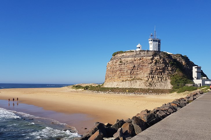
The lighthouse is one of the earliest surviving examples of a lighthouse on the east coast of Australia. It is associated with the work of famous colonial architects Edmund Blackett and Alexander Dawson.
During the Second World War, the lighthouse and signal station operations were controlled by military authorities. No.1 Cottage was hit by a shell fired from a Japanese submarine yet survived as the shell did not explode. The construction of the two cottages on Nobbys Headland was completed in 1942.
At the end of the war, the military vacated the cottages and signal station staff occupied the residences until the late 1990s. The signal station existing today was built in 1953 and, along with the lighthouse, remains a key piece of operational infrastructure for the safe movement of ships through Newcastle Harbour. Excerpt for the period during WWII, both the signal station and lighthouse has been owned and operated by the Australian Maritime Safety Authority for over 150 years.
Today, Nobbys-Whibayganba Headland has one of Newcastle’s best vantage points, with 360-degree views of the city, working harbour and Newcastle’s stunning coastline.
Nobbys-Whibayganba Headland grounds is open to the public on weekends and public holidays from 8:00am to 4:00 pm.
Macquarie Pier Historical Signs & Audio Tour
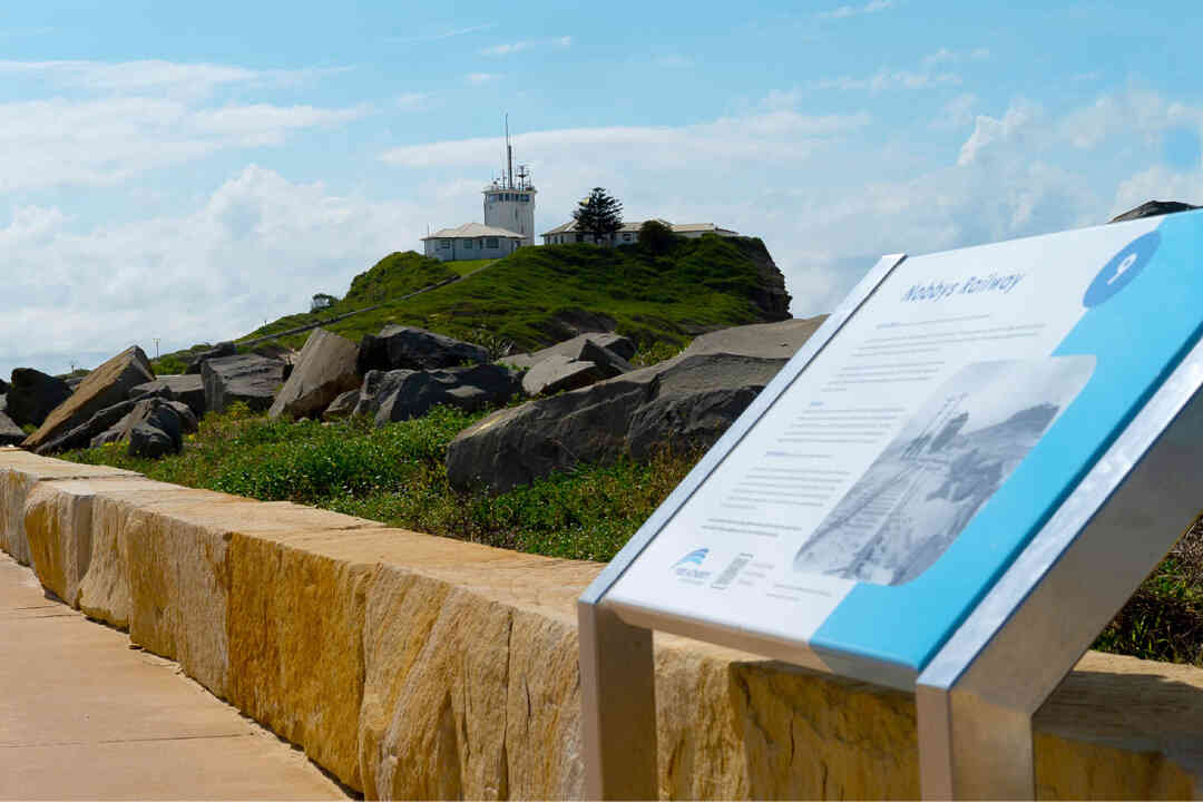
From its volcanic inception to the work of modern marine pilots, you can now sail through Newcastle history with Port Authority’s immersive free audio guide. This self-guided walk back through time is located along the 900m Macquarie Pier walkway stretching from Nobbys Beach to the Newcastle Breakwater and accompanies a series of fascinating heritage signs.
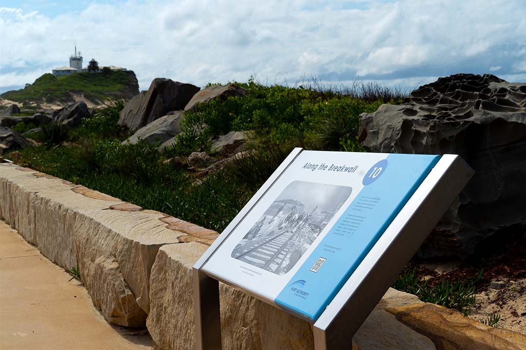
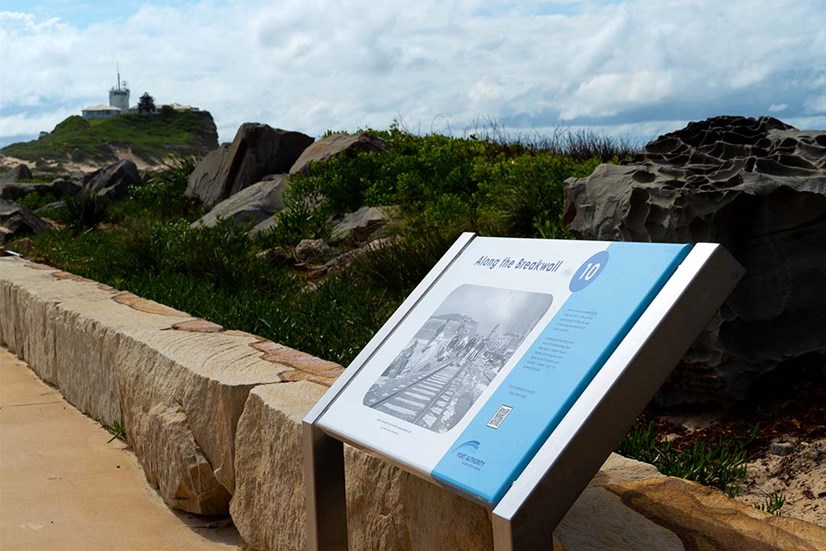
The audio guide tour contains the rich stories of Newcastle’s iconic Macquarie Pier and begins with the pier’s construction in 1818, when the then Commandant of Newcastle, Captain James Wallis, proposed constructing a land bridge to link Nobbys Island to the mainland. In his company was Governor Lachlan Macquarie, who agreed it was important work and whom Captain Wallis proposed the pier should be named after.
Unbeknownst to these two men, Macquarie Pier would bear witness to the rich and sometimes turbulent history of Newcastle for the next two centuries. It would oversee the safety of ships navigating in and out of Australia’s oldest seaport and help trade thrive in the Upper Hunter region. It would provide shelter for Newcastle’s unemployed living in shanty towns throughout the Great Depression and guard residents from dangerous Japanese shelling during World War II. Finally, it would become the familiar, iconic walkway now traversed daily by locals and visited by tourists from all around the world.
The audio guide can be accessed by scanning the QR code on the bottom of each sign with your smartphone. QR codes on each sign are linked to timestamps on the video correlating with the appropriate stage of the tour but visitors are welcome to navigate the audio guide according to their own preferences. Alternatively, you can enjoy the audio guide at home by searching on Port Authority’s official YouTube channel.
The audio guide is appropriate for all ages and suitable for all levels of prior knowledge.
The installation of interpretive signage and audio guide completes the second stage of Port Authority’s Macquarie Pier Revitalisation Project. In the first stage, the walkway was renovated with features such as a widened waterside footpath, a space for gathering and relaxing, sandstone seating and maritime-style fencing. This initial renovation was completed and opened to the public on 21 December 2020. You can read more about the project here.


