
04/06/2019 09:48 AM
Hydrographic Survey: mapping the mysteries of the seafloor
Delve under the surface of Sydney Harbour with Port Authority’s hydrographic survey team to find out how they unravel the mysteries of the deep.
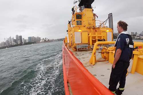
Sydney Harbour’s shimmering surface is a sight familiar to millions, but beneath the waves is a very different world few will ever see. Unravelling the mysteries of the deep is the Hydrographic Survey team at Port Authority of New South Wales. They scan the seafloor to chart the busy berths and shipping channels of our ports and harbours to make sure they’re clear of hidden dangers.
Even when the coast looks clear on the surface, under the water can be a different story as the seafloor constantly changes over time.
Natural processes such as waves and currents shift sands and cause erosion and accretion (the gradual accumulation of matter). Human activity like vessel turbulence, anchors and marine construction all has an impact too. Submerged hazards and seabed obstructions can also appear at any time.
New South Wales is home to some of the most economically significant ports in Australia with around 6,000 commercial vessels visiting each year. Large ships navigate close to the seabed so, in a port like Sydney Harbour, changes to depths in shipping channels or berths can present a serious danger to ships and the port environment.
Hydrographic surveyors help reveal what ships can’t see.
It’s up to Port Authority’s survey team to measure and map the depths and features of the seabed so ships of all sizes can navigate safely through the port.
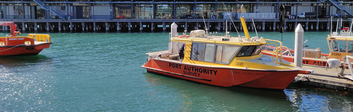
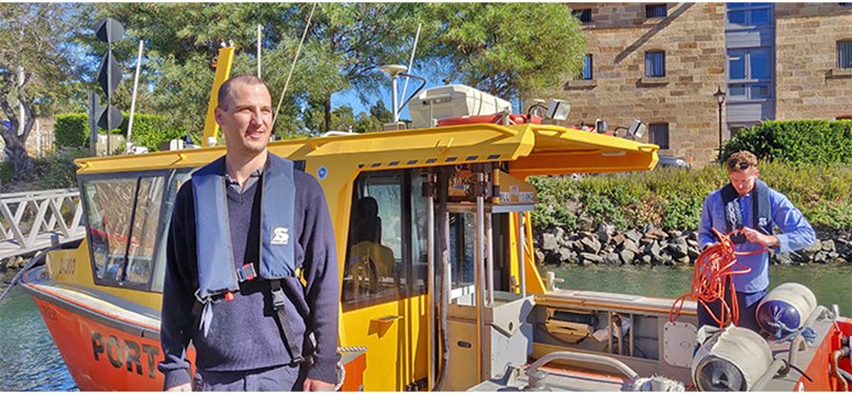 Image: The Port Explorer, Port Authority's purpose-built survey vessel
Out on the water, Port Authority’s purpose-built survey vessel, Port Explorer, is packed with state-of-the-art technology to scan the seabed.
As Port Explorer crosses the water, the survey team use their multibeam echosounder to measure depths and map the seafloor using soundwaves. The huge amount of data that comes back reveals a real-time picture of the seafloor on their onboard computers.
And it’s not just the shifting sands they reveal.
From submerged cars, industrial equipment and construction materials to historic propellers, anchors and even shipwrecks, the survey team discovers all kinds of unusual objects that could present dangers to ships above.
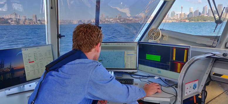 Image: On-board computers reveal a real-time picture of the seafloor
Back on dry land, the team use the captured data to create highly accurate bathymetric charts (underwater topography) and high-resolution 3D images that show exactly what lies below the waves.
The information is used to create plans for pilotage, to promulgate depths in port, to assist marine construction and dredging, and is sent to the Australian Hydrographic Office to update the navigational charts used by the ships sailing through port.
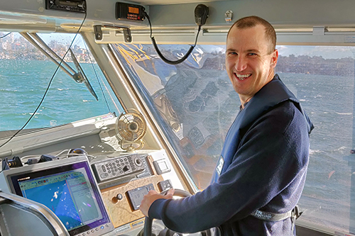
Q&A: meet a hydrographic surveyor
Find out how hydrographic surveyor Tim Connor maps the seafloor to keep ships safe.
The team also maintain sensors to measure tides, shoreline features, waves and currents and are part of Port Authority’s marine operations team that works 24/7 to keep the ports of NSW safe, secure and open to the world.
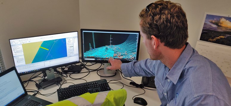 Image: High-resolution 3D images show what lies below the waves
Each year, the survey team conducts dozens of planned safety surveys of Sydney Harbour, Port Botany, Port Kembla, Yamba and Eden, as well as being contracted to assist private and governmental projects across the state.
So, while we may know more about the surface of the moon than the seafloor, in NSW the mysteries of the deep are more than well mapped.
Q&A: discover how hydrographic surveyors map the seafloor
Subscribe to our newsletter for all the stories from the ports and harbours of New South Wales.