
04/06/2019 09:54 AM
Q&A: meet a hydrographic surveyor
Meet Port Authority’s hydrographic surveyor Tim Connor and discover how he helps ships stay safe by mapping the mysteries of the seafloor.
What is hydrographic surveying?
Hydrographic surveying is the process of measuring and describing the seabed and its features for a specific purpose.
It plays an integral role in nautical charting, maritime navigation, dredging, marine construction, oil and gas exploration, offshore drilling, archaeology and environmental projects to name a few.
A hydrographic surveyor uses a variety of equipment and sensors to measure soundings, tides, shoreline features, waves and currents; and to monitor and map changes to the seafloor.
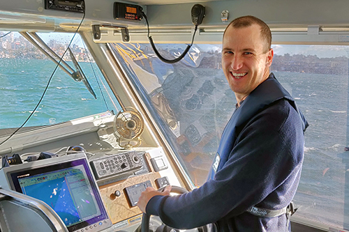
 Image: Tim Connor, hydrographic surveyor, in front of the Port Explorer
What does the hydrographic survey team do?
We monitor and asses the changes to the seabed across our ports. All areas within the designated harbour jurisdiction have been risk assessed based on vessel traffic loads, and depth versus draft to provide a frequency of survey.
Our hydrographic surveys create bathymetric data used to create plans for pilotage; to promulgate depths for berths and shipping channels, and to assist marine construction and dredging.
We also play a major role in installing and maintaining an extensive network of metocean
equipment to aid ships navigation and improve safety on the water.
How does hydrographic surveying help ships stay safe?
Without this accurate and reliable information about the seafloor, ships could have their safety compromised while they navigate through our ports and harbours.
Surveying also provides economic benefits. The data gives ships accurate depth measurements, allowing them to carry a greater weight of cargo to their maximum draft tolerance (the distance between the waterline and the bottom of the hull).
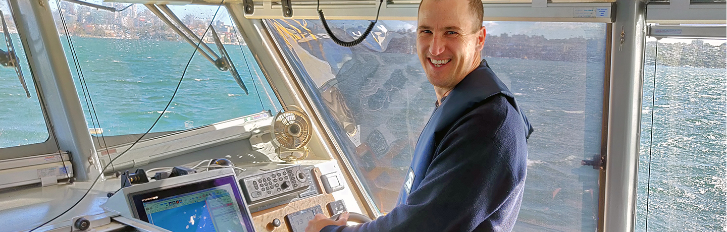
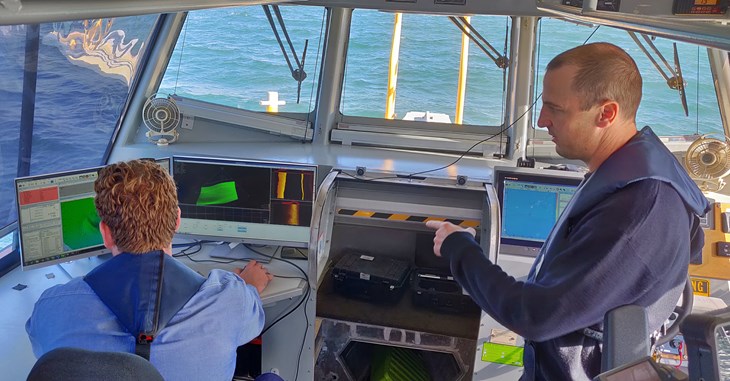 Image: Onboard the survey vessel, Port Explorer
What technology do you use to do this?
We have a variety of sensors and equipment on our vessel to get the job done. Our multibeam echosounder uses soundwaves to measure depths and map the seafloor. They emit up to 50 pulses a second and each pulse sends us 512 points of data. Together, this information creates a full picture of what’s on the seafloor in real time.
We also use highly accurate (to 1-2cm) Global Navigation Satellite System (GNSS) positioning and accelerometer sensors to correct the multibeam data for position and motion of the vessel, and sound velocity sensors to correct the data for the effects of variable sound velocity in water.
How is the data turned into useful information for ships?
After capturing the information in the field, the raw data is processed in the office with advanced software.
We ‘clean’ the information to remove any noise and artefacts from the data and use filters and manual editing in both 2D and 3D views to validate it. If charts are required, then the information is passed on to our CAD (computer-aided design) team for completion.
The bathymetric data is also provided to the Australian Hydrographic Office to update the official paper charts and the electronic navigational charts used on the ships.
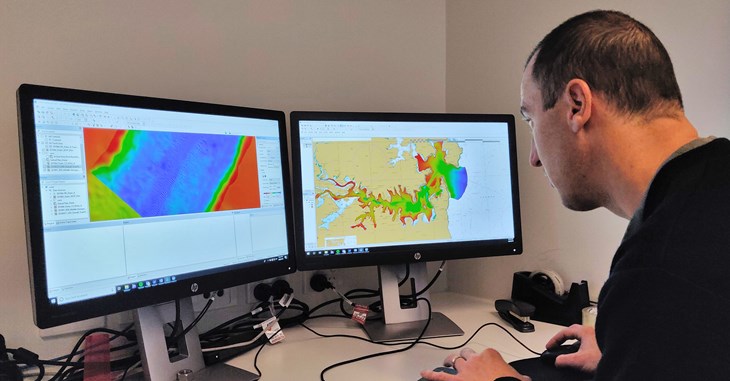 Image: Processing the raw data with advanced software
What things have your team discovered while surveying?
We’ve found numerous cars on the seabed near wharves and jetties and all kinds of industrial and construction materials.
We are also lucky enough to find historical items such as heritage anchors, propellers and shipwrecks.
Most of the more unusual things are now well-mapped — like the wreck of the TSS Currajong off of Bradleys Head — but you never know what might turn up next.
What do you enjoy most about this work?
Well, you definitely get a buzz when you find something on the seafloor for the first time. It’s great to work out on the water; working with different survey techniques and technology.
You need to be a team player, be prepared to independently seek solutions, and be able to adapt to new technologies and techniques — it’s a role with a lot of variety.
Find out more about Port Authority’s hydrographic survey team
Subscribe to our newsletter and keep up to date with all the news and stories from the ports and harbours of New South Wales.